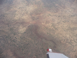
The Demand for Geophysical Surveys;
 Greater global
demand for minerals is leading to an increased demand for mineral exploration
and in turn geophysical surveying.
Airborne geophysical surveying, in particular magnetics and radiometrics
have become leading techniques to initiate the mineral exploration process,
by economically and efficiently acquiring data from the air using small fixed wing aircraft and helicopters.
Airborne survey data can be modeled into a
wide variety of detailed geophysical map products which are used to identify
and model geophysical anomalies for further exploration. Airborne Geophysical surveying is the primary tool in the mineral exploration process as the data
provides key insight into where to further in-depth exploration is justified.
Geophysical surveys can be conducted via the following
methods:
-
Airborne (typically large and remote
areas)
-
Ground (property sized claim areas,
close to road access)
-
Marine
(offshore, regional grids)
These methods
require different equipment and applied technologies in order to produce
accurate and repeatable results.
Airborne surveys are key as they allow for the most economical and
efficient mapping of large areas. Single engine aircraft can economically fly
small to large exploratory surveys over land, while twin engine aircraft have proven
to be an invaluable in determining oil and gas deposits offshore, or remote surveys with long ferry distances to suitable airports. Helicopters are
used to achieve very low survey altitude or explore in mountainous terrains requiring
high gradient climb ability.
Geophysical Survey Technology
There are a wide
variety of different geophysical technologies that can performed by airborne
means. These technologies are all proven, repeatable acquisition methods for
acquiring data from an airborne geophysical survey platform. Some of the more prevalent technologies used
in geophysical surveying include:
Terraquest
typically collects magnetic, radiometric and Matrix Digital VLF-EM survey data on any
given flight, however other technologies such as gravity, seep finder and electromagnetic
can be acquired upon request. Each
technology requires unique specialized instruments as well different survey
characteristics to acquire precision data.
Survey factors which vary for each technology include;
-
type of terrain in the survey grid,
-
survey altitude,
-
aircraft speed,
-
and the distance between grid
lines,
-
wind and diurnal are also factors
which must be considered and monitored throughout each flight.
Airborne survey
aircraft are generally restricted by the weight of the instruments that can be
carried safely on-board an aircraft.
Further, the equipment must be complimentary to each other in that they
must share similar acquisition parameters as listed above.
The
Industries that Drive Geophysical Surveying
Due to the
increased activity in the mining industry and a significant increase in the
amount of funding made available for the mineral exploration industry, the
geophysical surveying industry is also growing steadily.
Oil companies are
constantly on the lookout for the next big deposit of hydrocarbons and fossil
fuels to capitalize on skyrocketing consumer demand. Oil companies are among the most well funded exploration companies in the world and provide significant to the
geophysical surveying industry.
Geophysical
surveying is predominantly used by Junior exploration companies when developing mineral evaluations of projects with the
intention of selling their property to major mining corporations.